Foresters Trained on Use of Spatial Technologies for Forest Resource Assessment - GIS, GPS and Remote Sensing
In an increasingly transforming and dynamic world where the preservation of our natural resources has become of paramount concern, foresters are stepping up their game by embracing the transformative potential of Geographic Information Systems (GIS), Global Positioning System (GPS), and Remote Sensing.
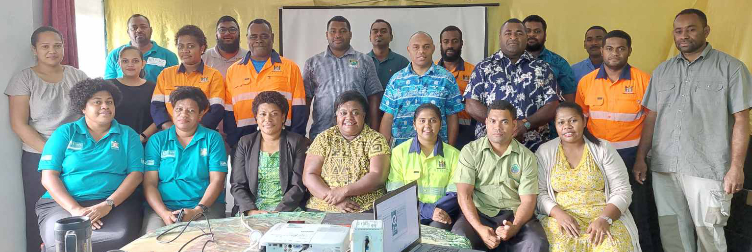
These cutting-edge technologies are revolutionising the field of forestry, and led to a week-long (June 26-30, 2023) comprehensive training to equip foresters in the Central Division this week with the knowledge and skills needed to harness the power of these spatial technological development.
Hosted by the Forest Resource Assessment and Conservation (FRAC) Division of the Ministry of Forestry, this comprehensive training was specifically aimed to empower foresters with a deep understanding of GIS, GPS and Remote Sensing and their crucial role in the accounting of and sustainable management of forest resources.
During the course of the training, participants were exposed to a wealth of knowledge and practical experiences that showcased the immense value of GIS, GPS, and Remote Sensing in forestry. Led by experts in the field, the training delved into the fundamentals of GIS and Remote Sensing, providing participants with a solid understanding of the technologies and their applications.
Ministry Senior Resource Assessment and Monitoring Officer, Mohammed Shorab, said one of the key takeaways from the training was the realisation of the pivotal role that GIS plays in effective forest management.
“Participants gained insights into the power of mapping forest cover, monitoring changes in vegetation health, and analysing diverse data layers to make informed decisions. The integration of open-source and proprietary software options proved to be a game-changer, enabling foresters to leverage advanced tools for data analysis and visualisation,” Mr Shorab said.
The practical sessions on GPS data collection were particularly impactful, as participants honed their skills in accurately marking points of interest, delineating boundaries, and navigating challenging terrains.
“The training equipped them with the expertise to utilise GPS devices seamlessly in the field, improving the precision and reliability of data collection. This hands-on experience reinforced the symbiotic relationship between GPS and GIS, highlighting how these technologies complement each other to enhance field data management,” Mr Shorab added.
FRAC Director, Apisai Rinamalo, said the training also underscored the indispensable role of remote sensing in modern forestry practices.
He encouraged the foresters to put to practice what they had learnt to be on par with the current trend and technology in sustainable forest management.
“Participants were enlightened about the significance of satellite imagery, aerial surveys, and other remote sensing techniques in monitoring forest cover, detecting deforestation patterns and assessing the health of vegetation.
“The ability to identify areas susceptible to illegal logging and encroachment, as well as predict and prevent forest fires, demonstrated the immense value of Remote Sensing in preserving forest ecosystems,” Mr Rinamalo said.
Beyond the technical aspects, the training emphasised the importance of producing accurate maps and reports. Participants were trained in utilising QGIS software to import GPS datasets, visualise them on basemaps, and create visually appealing and informative maps.
The sessions on reporting harvested and planted areas, provided valuable insights into data collection methods, mapping techniques, and field inspections, ensuring that participants were well-equipped to generate comprehensive and reliable reports.
The successful completion of this training has unlocked a world of possibilities for foresters. Armed with their newfound expertise, these professionals are now equipped to apply GIS, GPS and Remote Sensing in their day-to-day operations, enhancing their capacity in sustainable forest management.
By leveraging these spatial technologies, foresters will be able to make evidence-based decisions, improve resource allocation, and protect forest ecosystems from the ever-increasing threats of deforestation and climate change.
The training has not only provided technical knowledge but has also fostered a sense of collaboration and camaraderie among participants. The networking opportunities and knowledge-sharing sessions have sparked innovative ideas and initiatives for the future of forestry.
This has marked a significant milestone in advancing forestry practices. Foresters are now equipped with the tools, skills, and knowledge necessary to harness the power of these spatial technologies. This transformative training will undoubtedly have a lasting impact on forest management, fostering sustainability, and ensuring the preservation of our precious forests for generations to come and will be an on-going training as newer knowledge and versions emerge.