Forestry Officers Attend Land Cover Mapping Workshop with FAO and USFS
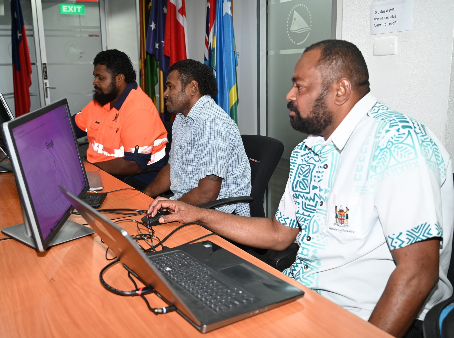
Three officers from the technical team of the Ministry of Forestry’s Forest Resource Assessment Division are currently attending the Fiji National Land Cover Change Mapping Working Group in Collaboration with the Food and Agriculture Organization of the United Nations (FAO) and United States Forest Service (USFS).
The weeklong capacity building workshop is for members of the National Land Cover Change Mapping Working Group which will end tomorrow, 3rd May 2024.
The National Land Cover Change Mapping Working Group is developing a National Land Cover Change Mapping System under the direction of the Fiji Geospatial Information Management Council (FGIMC). In order to produce the statistics necessary to meet international reporting guidelines and to improve national land management decisions, the working group will employ land monitoring workflows in the system that can, with high accuracy and precision, map and estimate the area of all 6 main IPCC land use categories and transitions between them over time.
This workshop is designed to support the development of this system. The system will produce national maps of the six IPCC land cover classes every two years.
In support of the development of the National Land Cover Change Mapping System, this workshop will train participants to use the FAO OpenForis SEPAL platform to perform advanced, customized geospatial analyses to meet the needs of the National Government and many other regional/local stakeholders.
The purpose of the SEPAL Platform is to enable anyone, anywhere to use geospatial data to produce locally relevant results. Participants will become familiar with the SEPAL platform using real-life, local data and will produce information products and data that can be valuable for national reporting and land management planning.
The workshop will build on and complement previous workshops held in Fiji including OpenForis Collect Earth and Collect Earth Online workshops for forest restoration and for developing training data for the national mapping system (both held in 2023), Google Earth Engine workshops conducted by Noel Gorelick and Bill Monahan (held in 2023 and 2024), Digital Earth Pacific (held in 2024), and a Collect Earth workshop originally held in 2020 using data from 2015.
-End-